Salvation Mountain (World Building)
(2011-2023)
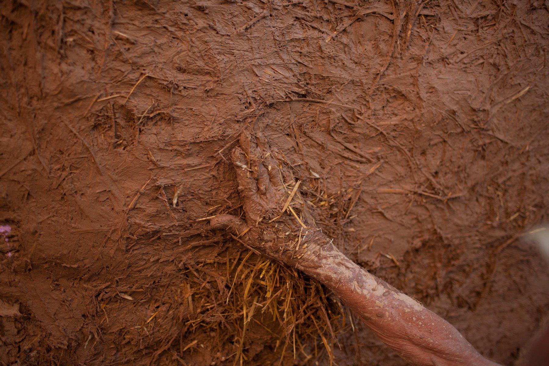
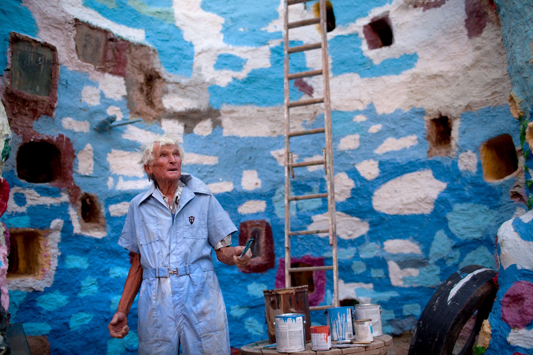
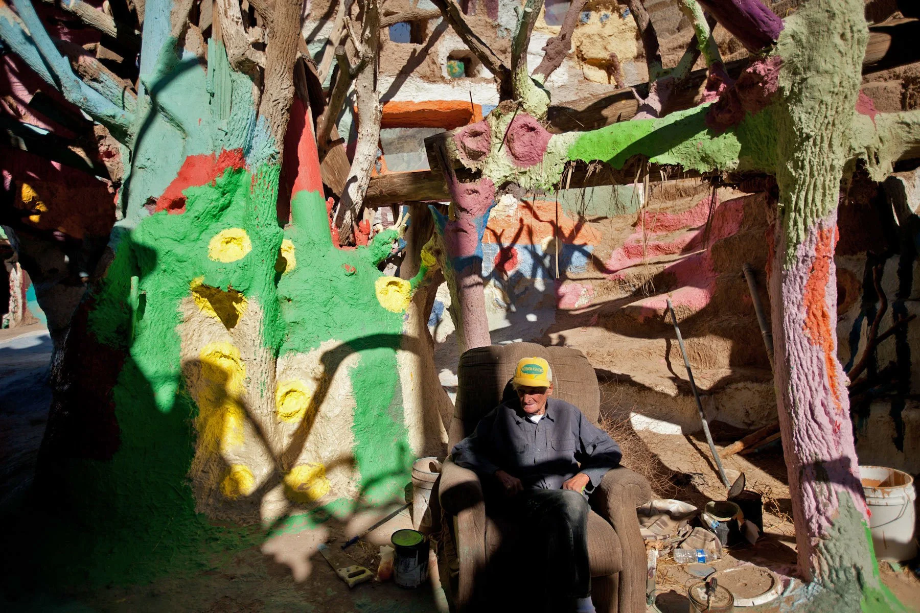
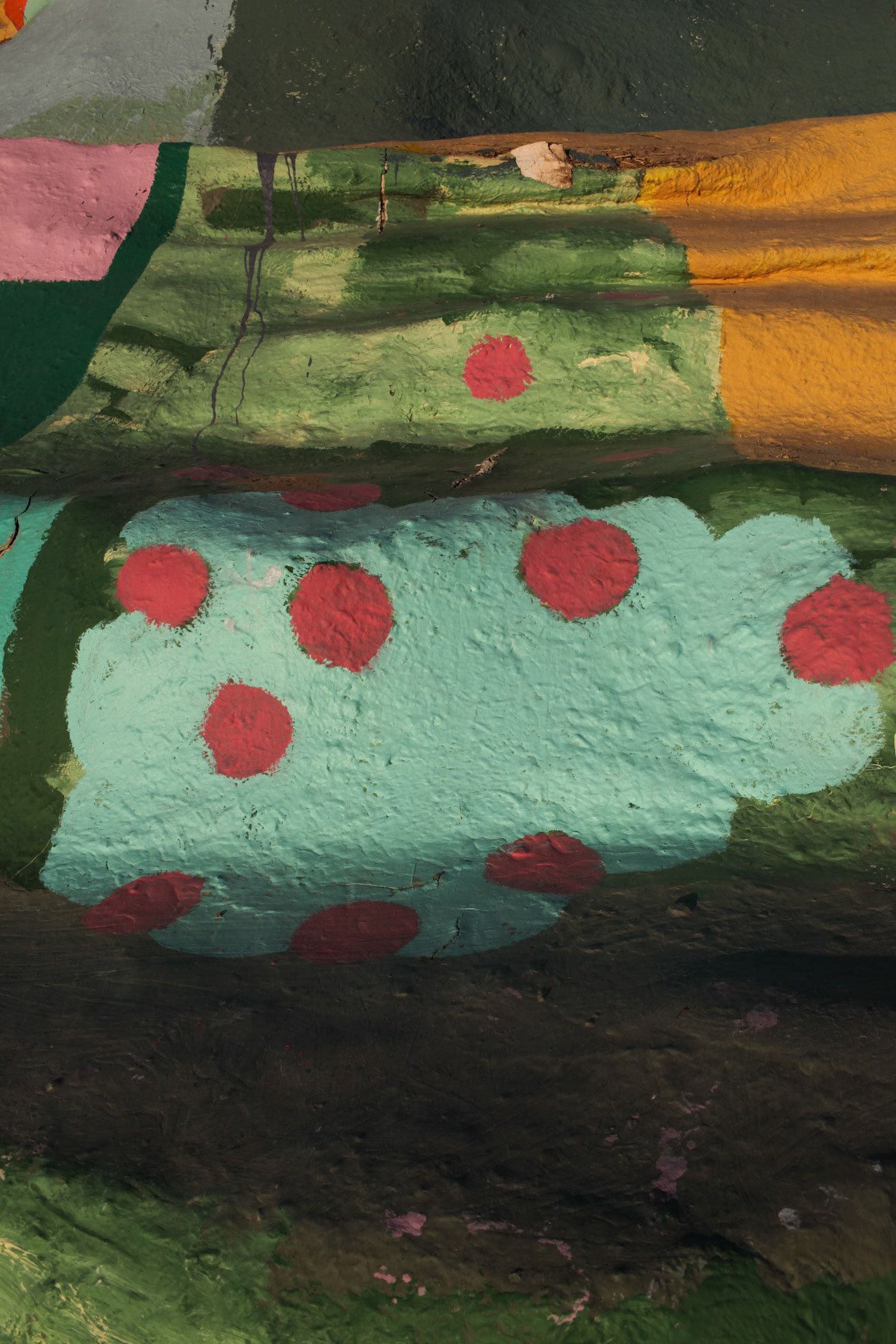
Since 2007, I've been documenting Leonard Knight's Salvation Mountain, a kaleidoscopic folk art site near the Salton Sea that he built over a 27 year period. In 2011, I captured over a thousand images of its surface, photographing in a grid, driven by the need to preserve the monument while Leonard was still alive and maintaining it. At that time, I didn't yet know exactly what I would do with these images, and was not yet aware of photogrammetry (a process for capturing images and stitching them together to create a digital model of the physical world), but I sensed the urgency of documenting Leonard's creation before it succumbed to nature and time. At the end of that year, Leonard left the mountain to enter a full time care facility, and it began its transformation under well-meaning hands attempting to protect it from decay… but the artist's unique brush strokes and colors slowly began to disappear.
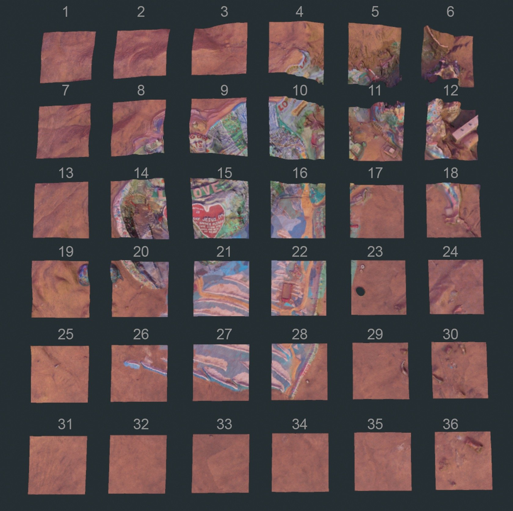


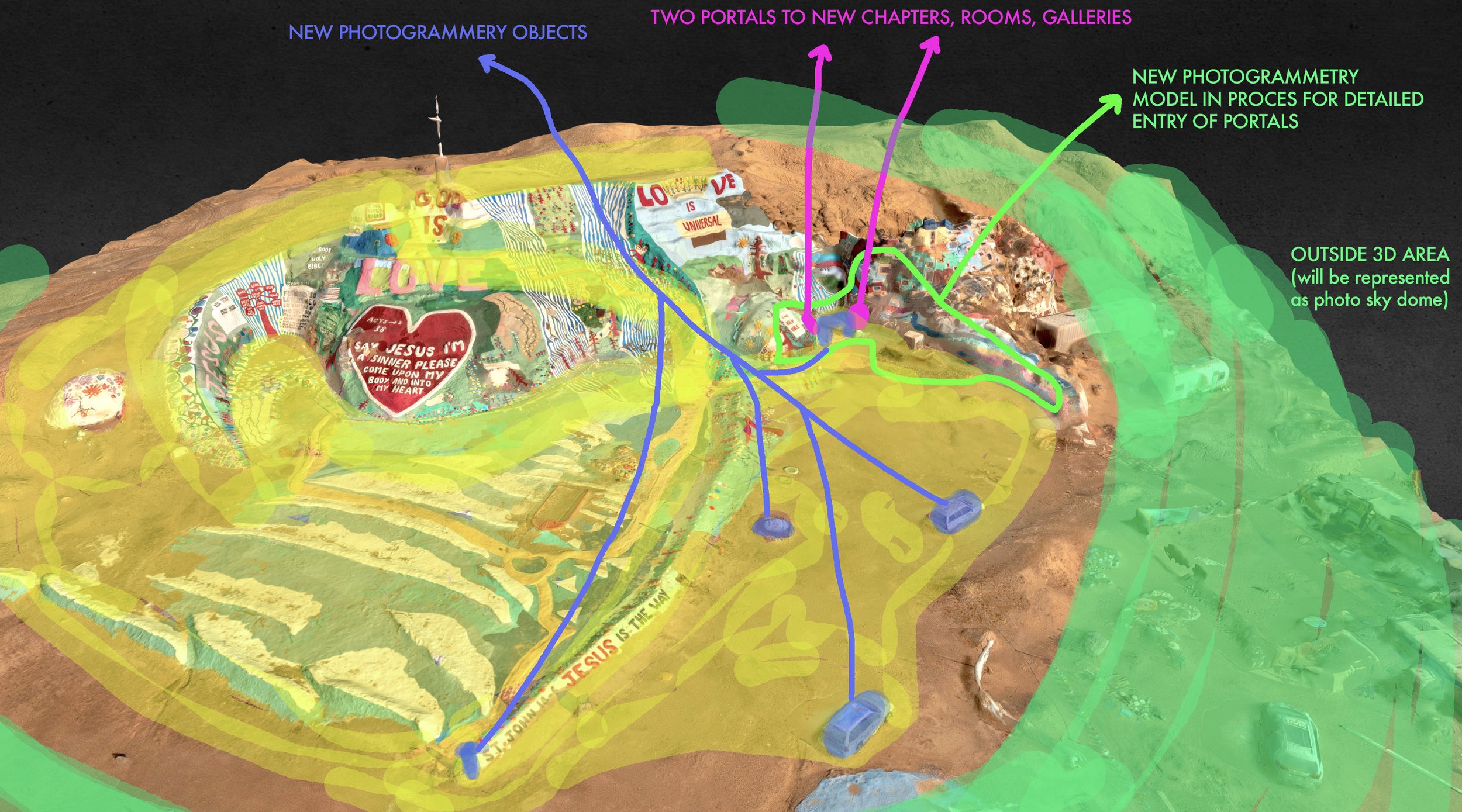


Years later, after Leonard's death and with my growing knowledge of photogrammetry, I returned to that imperfect grid of surface images. Combining this set with over 10,000 photographs captured in more recent years, I reconstructed Salvation Mountain as a virtual, navigable space—a living archive where every element and structure, from the ground to the sky, is composed of photographic data. The reconstruction process was a complex synthesis of five distinct data types: the imperfect grid of 2011 images with challenging shadows and angles; drone photogrammetry of the entire environment; separate DSLR photo sets capturing specific sections and structures over multiple journeys; Polycam models of cars and objects made with an iPhone; and LiDAR scans of one of the arches. Through the final fusion of photography and 3D scaffolding, this digital resurrection allows us to engage with Leonard's vision long after the desert began reclaiming his work, preserving not just visual details but the experience of walking through his world.
As spatial computing and wearable display technologies become more commonplace, works like these will proliferate, offering new possibilities for photographic storytelling and historical documentation. This photograohic world challenges the concept of the "decisive moment" in photography, expanding it from a single frame to an explorable environment. By allowing navigation within photographic data, the project not only preserves a significant piece of folk art but also points towards future forms of immersive, spatially-aware visual narratives. This evolution envisions a world where images are not just seen, but traversed and inhabited. Viewers can explore this reconstructed Salvation Mountain through the embedded Spatial prototype below via laptop or cellphone, as well as in virtual reality through platforms like VRChat, offering multiple avenues for immersive engagement with the preserved site.


